
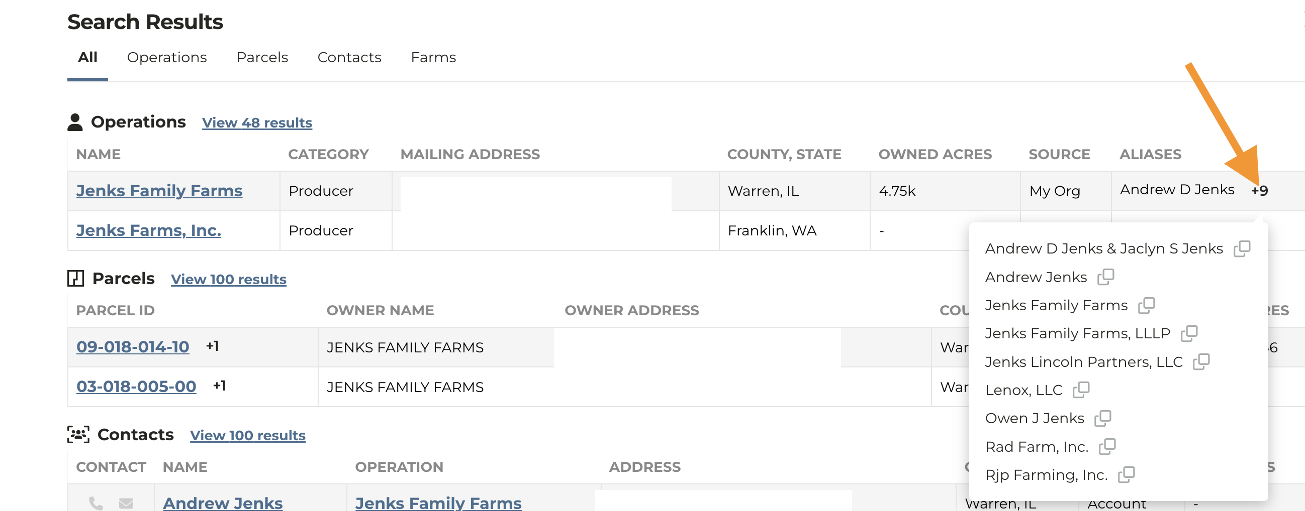
Parcel Owner Name Display
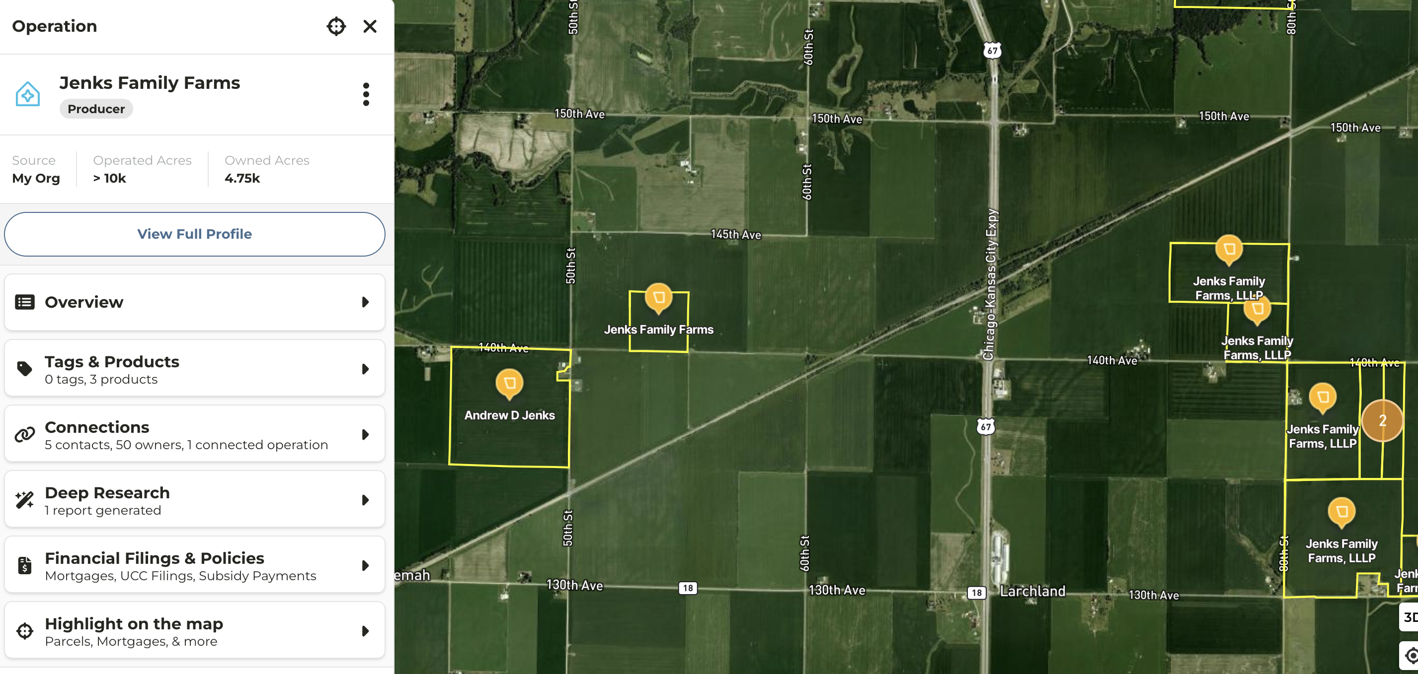
- Owner entity name now displays on a parcel on the map if you navigate to the map from the search results
- In cases where an Operation has multiple aliases or owner entities, this enhancement allows you see see which parcels is associated with which entity
New Map Layer Navigation
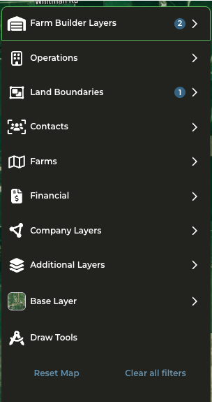
- Updated map layer menu is now available
- Filters are now available within the layer selected
- View Overview of the Map Layers and Filters for more details of what has changed
Crop Data Layer Available on Map
- Enable the Crop Data Layer within Additional Layers
- Filter by specific year and crop type to target specific parcels on the map
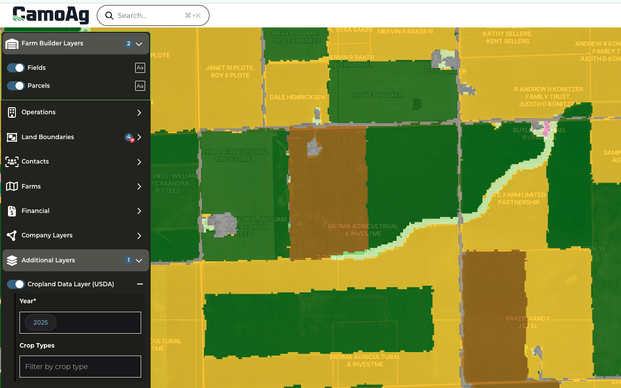
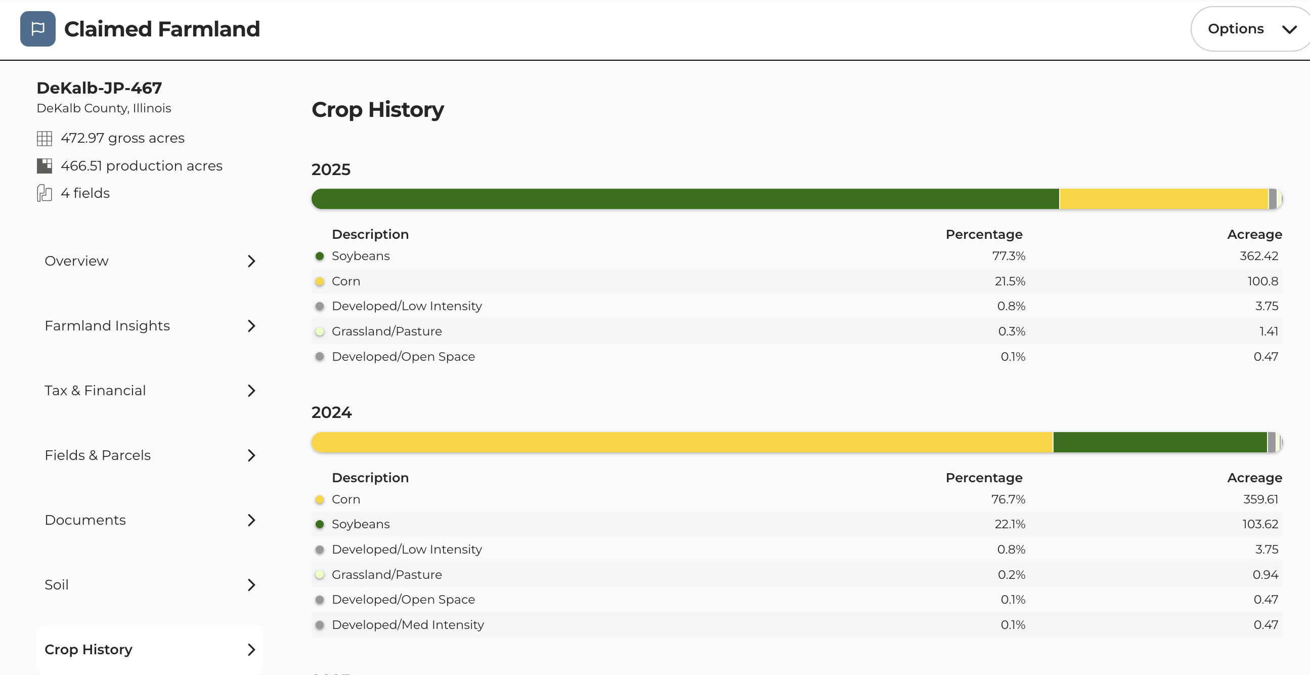
2025 Crop Data Uploaded
- 2025 Crop History data is now available